High Dr Ct
Wellington, KS 67152
- 3Beds
- 4Baths
- 4,590ft²Living Area
- 13.9acLot Size
- -Pool
- 12Car
- 2022Year Built
- -DOM
- -Permit
Property Valuations
Latest estimates for High Dr Ct based on TopHap automated valuation model (AVM).
TopHap Estimate
$335,975
$73/ft²
Updated 3 months ago
High Dr Ct is valued at $335,975 by TopHap AVM 3 months ago.
Current Ownership
Information about the current owner(s).
Taxes Billed
Taxes billed in 2019$3.65From latest Total Assessed Value0.01%Total Assessed Value$34,356=Land+
Assessed Value$9,956Additions
Assessed Value$24,400
In 2019, taxes billed for High Dr Ct were $3.65, which is 0.01% from latest Total Assessed Value of $34,356.
Property History
High Dr Ct has undefined property events records (listings, deeds, permits, tax, foreclosure, loan).
Environment
Environmental factors around High Dr Ct
Hazard Risks
Tornado227Hail157Carb Mono104Nat'l Avg100Weather100Particulates98Ozone86Air Pollution85Lead44Earthquake31Wind25Hurricane4
12 hazards (Carbon Monoxide, Earthquake Risk, Hail Index, Tornado Index, Hurricane Index, Air Pollution Index, Ozone Index, Wind Index, Weather Risk, Lead Index, Particulate Matter, National Average) are above the national average around High Dr Ct.
Walkability Index
8 /20
Most Walkable
20-18
Very Walkable
17-15
Somewhat Walkable
14-10
Car Dependent
9-0
High Dr Ct has a walkability score of 8 out of 20, which means that it is in a car dependent area.
Temperature
Seasonal temperature sampled over multiple years
Winter
Average
Low
25°F
High
47°F
Summer
Average
Low
67°F
High
92°F
In the winter at High Dr Ct, temperatures range from 24.82°F to 47.13°F with an average of 35.98°F. In the summer, the temperature ranges from 67.48°F to 92.18°F with and average of 79.83°F.
School Information
Public/private schools serving High Dr Ct
Public Schools
Nearby public schools serving High Dr Ct have ratings undefined, undefined, and undefined.
Neighborhood
This property is located in 67152.
Seasonal Housing units 67152
2%of housing is for seasonal rent.
Daytime Population for 67152
-5%of people during work hours.
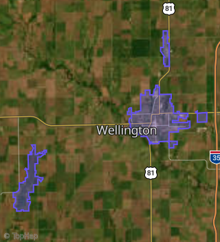
Boundary map of 67152.
Crime Index for 67152
124
The crime index in 67152 is 124, which is 1.2 times higher than national average.
Market Trends
Historical market data near High Dr Ct over selected time period.