135 Rosita Ln A
Freedom, CA 95019
- 4Beds
- 3Baths
- 2,867ft²Living Area
- 9,932ft²Lot Size
- 1Pool
- 2Car
- 1966Year Built
- -DOM
- -Permit
Property Valuations
Latest estimates for 135 Rosita Ln A based on TopHap automated valuation model (AVM).
TopHap Estimate
$886,700
$309/ft²
Updated 11 months ago
135 Rosita Ln A is valued at $886,700 by TopHap AVM 11 months ago.
Current Ownership
Information about the current owner(s).
Taxes Billed
Taxes billed in 2023$6,607.28From latest Total Assessed Value1.19%Total Assessed Value$555,611=Land+
Assessed Value$156,035Additions
Assessed Value$399,576
In 2023, taxes billed for 135 Rosita Ln A were $6,607.28, which is 1.19% from latest Total Assessed Value of $555,611.
Property History
135 Rosita Ln A has undefined property events records (listings, deeds, permits, tax, foreclosure, loan).
Environment
Environmental factors around 135 Rosita Ln A
Hazard Risks
Earthquake552Nat'l Avg100Particulates99Air Pollution84Ozone79Carb Mono75Lead42Tornado11Weather7Hail0Hurricane0Wind0
9 hazards (Carbon Monoxide, Earthquake Risk, Tornado Index, Air Pollution Index, Ozone Index, Weather Risk, Lead Index, Particulate Matter, National Average) are above the national average around 135 Rosita Ln A.
Walkability Index
14 /20
Most Walkable
20-18
Very Walkable
17-15
Somewhat Walkable
14-10
Car Dependent
9-0
135 Rosita Ln A has a walkability score of 14 out of 20, which means that it is in a somewhat walkable area.
Temperature
Seasonal temperature sampled over multiple years
Winter
Average
Low
40°F
High
61°F
Summer
Average
Low
52°F
High
72°F
In the winter at 135 Rosita Ln A, temperatures range from 39.71°F to 61.25°F with an average of 50.48°F. In the summer, the temperature ranges from 51.73°F to 71.6°F with and average of 61.67°F.
School Information
Public/private schools serving 135 Rosita Ln A
Public Schools
Nearby public schools serving 135 Rosita Ln A have ratings undefined, undefined, and undefined.
Neighborhood
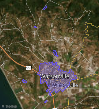
This property is located in Watsonville.
Seasonal Housing units 95019
13%of housing is for seasonal rent.
Daytime Population for 95019
-35%of people during work hours.
Boundary map of Watsonville.
Crime Index for 95019
114
The crime index in 95019 is 114, which is 1.1 times higher than national average.
Market Trends
Historical market data near 135 Rosita Ln A over selected time period.
Nearby Properties on Rosita Ln
- 125 Rosita Ln, Freedom, CA 95019 is a 1,813 square foot, 3 bedroom, 2 bathroom, 0.16 acre property. It was built in 1990 and has an estimate of $804,657 with a price per ft² of $444.
- 110 Rosita Ln, Freedom, CA 95019 is a 2,016 square foot, 3 bedroom, 2 bathroom, 0.24 acre property. It was built in 1990 and has an estimate of $834,451 with a price per ft² of $414.
- 135 Rosita Ln # A, Freedom, CA 95019 is a 2,867 square foot, 4 bedroom, 3 bathroom, 0.23 acre property. It was built in 1975 and has an estimate of $938,503 with a price per ft² of $327.
- 135 Rosita Ln # A, Freedom, CA 95019 is a 2,867 square foot, 4 bedroom, 3 bathroom, 0.23 acre property. It was built in 1966 and has an estimate of $936,682 with a price per ft² of $327.